
 GPS Altimeter: Digital Compass
"Is GPS Altimeter: Digital Compass working?"
GPS Altimeter: Digital Compass is working normally
All systems are operational. GPS Altimeter: Digital Compass is accessible and functioning properly.
Status Chart
This chart displays the hourly status data for over a 24-hour periodTimeline
A chronological log of system events, performance fluctuations, and user reports. Each entry is tagged with time, status, affected regions, and resolution details for comprehensive tracking and analysis.
Service Status: All systems operational and responding normally
Performance Trend (24h): Service stability is degrading
Community Reports: No issues reported by users in the last 24 hours
Global Availability: Working normally worldwide
What issues are you experiencing?
Please choose the type of issue you're having with the Android app.
Reporting chart
Recent reports
No recent votes yet
GPS Altimeter: Digital Compass
ToolsAbout this app
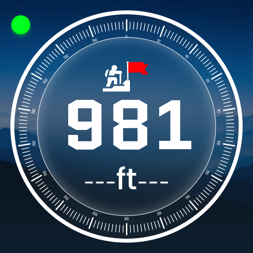
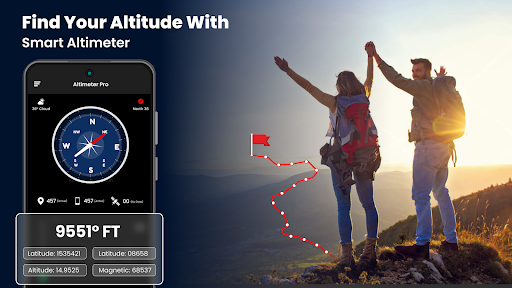
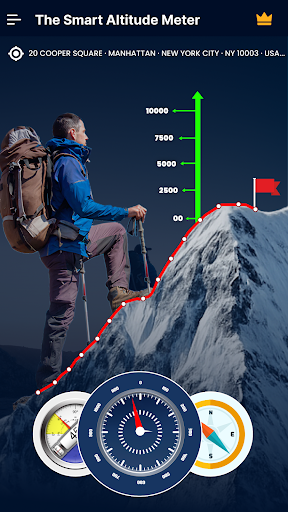
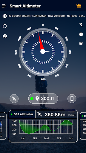
Altimeter-Altitude is a smart tracking devices, altitude used to measure. It's perfect app for people who love skiing, hiking, mountain biking and other out-of-door conditioning. Any time and with high perfection you can check altitude, elevation or localization equals. It works offline and online. Save Altitude-Altimeter History with Chart GPS Alt...
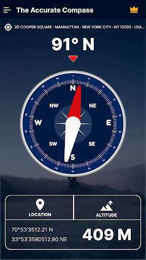
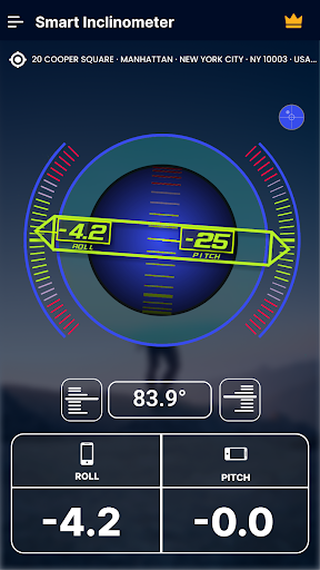
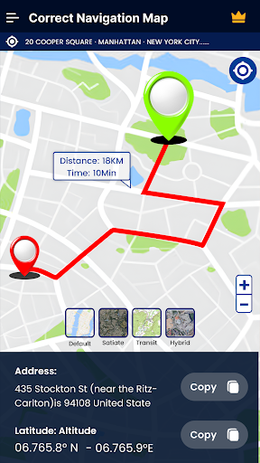
App Screenshots
Explore Other Apps
Check status of other Android apps and games
Vampire Survivors
Mow down thousands of night creatures and survive until dawn! Vampire Survivors is a gothic horror...
Aeromexico
Aeromexico is the proud national flag carrier of Mexico, identified by the IATA code AM and...
Starlight Fiber
Starlight Fiber is a modern telecommunications provider specializing in high-speed fiber-optic...
Tesla
Tesla.com is the official website for Tesla, an American company that specializes in electric...
Arena Breakout: Infinite
Arena Breakout: Infinite is a high-stakes tactical extraction shooter where every decision matters....
Orbitz
Online travel booking website for flights, hotels, and packages
Counter-Strike
Play the world's number 1 online action game. Engage in an incredibly realistic brand of terrorist...
Phasmophobia
Phasmophobia is a 4 player online co-op psychological horror. Paranormal activity is on the rise...
MeetMe
MeetMe is a vibrant and inclusive brand that aims to connect you with like-minded individuals who...
BioShock 2
Set approximately 10 years after the events of the original BioShock, the halls of Rapture once...
Bell
Bell.ca is the official website for Bell Canada, a leading telecommunications company in Canada. As...
Prime Video
Prime Video is a major video streaming and rental service operated by the e-commerce giant Amazon....
Banco BBVA
Banco Bilbao Vizcaya Argentaria, more commonly known as BBVA, is a global financial services group...
Wix
Wix is a website development platform that allows users to create and manage professional websites...
SILENT HILL f
Hinako's hometown is engulfed in fog, driving her to fight grotesque monsters and solve eerie...
Comments & Discussion
0 Comments
Be the first to comment on GPS Altimeter: Digital Compass status
Share your experience with the community